
Geosciences
Geological Maps: Use, Design and Limits of Interpretation
Covers the principles of geological mapping and reading the territory and landscape through maps, and understanding the subsurface while recognising the limits of what a map can show. Each participant receives a geological map with its description.
Overview
About the programme
Covers the principles of geological mapping and reading the territory and landscape through maps, and understanding the subsurface while recognising the limits of what a map can show. Each participant receives a geological map with its description.
Duration
2 days
Training hours
14 hours
Delivery
Training hall · Virtual · At your premises
Language
Arabic or English
Objectives
What trainees will gain
- Understand the basic principles of geological map design and the constraints involved in producing them.
- Extract information from maps using different reading methods and from their explanatory notes: the nature and age of formations, and more.
- Understand how this information is used economically and socially, and in education and planning.
Content
What the programme covers
Rocks and strata
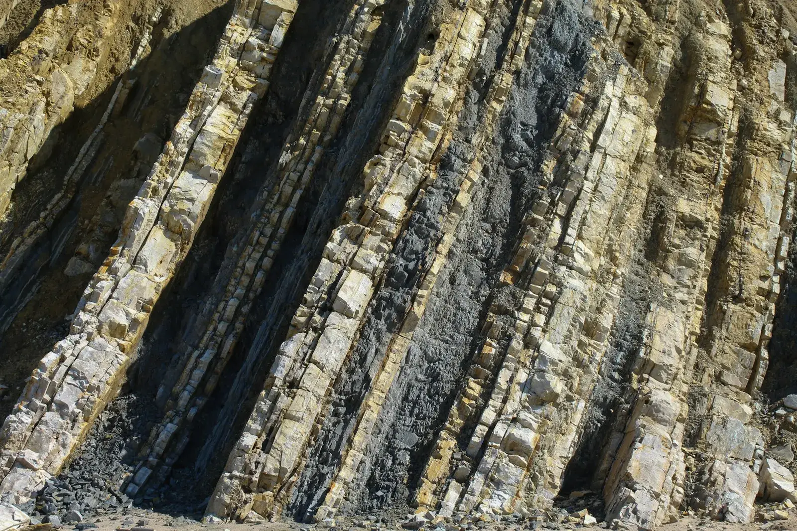
- Rock diversity in hand samples and outcrop photographs.
- The geological time scale: dating rocks, the relationship between superposed strata, and the concept of unconformity.
Geological mapping
- Maps, legends, cross-sections, structural diagrams and explanatory notes.
- How a geological map is produced, and concepts of scale.
- Representing and classifying bodies and structures on the map.
Reading maps and using them in practice
- Reading geological boundaries using contour lines, the horizontal method and the embedded information.
- Reading and drawing examples and exercises.
- Who geological maps are made for and how they are used: resources, planning, waste storage and research.
Field trip
- Observation, measurement and note-taking in the context of producing a geological map.
- Using field data: producing a map from the morning's data and comparing participants' interpretations.
- The transition to digital geological maps.
Who for
Target audience
Resource managers (water, development), and engineers and technicians at consultancies and public authorities.
Method
How it is delivered
Presentations and discussion, exercises on real maps, and a half-day in the field.
A programme tailored to your organisation
The duration and topics of the programme are adjusted to the organisation's needs, and it is delivered at its site, in a training hall arranged by the Center, or virtually.